
AHAB was “A High Altitude Balloon” project posted on Make Magazine plus original PDF posting. Some novice balloonists with tons of electronic skill devised a payload including cameras, cell phones and GPS equipment to take photos from near space. The GPS data transmitted back indicated they achieved 109,000ft which is just amazing. Photos from near space would have been spectacular. Unfortunately they never found the payload. There GPS transmitter gave out during the descent around 60,000ft. They searched but with no luck.
The call went out for others to help in the search. I was going to be in the area on a vacation to the Pacific Coast a few months later so I got the new projected targets, my GPS and a team to help search. (See our results posted at Make Magazine). The following larger photos are boring snapshots of us at the target areas. Sorry to say we too did not find the payload.
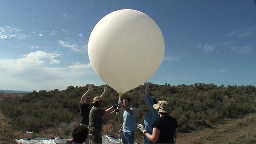
The balloon
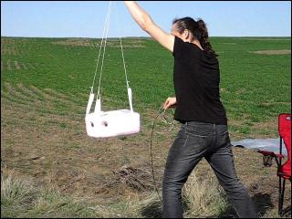
The payload
Graphic of the GPS data from launch to cutaway
![]()
Original search area that Bre searched by air
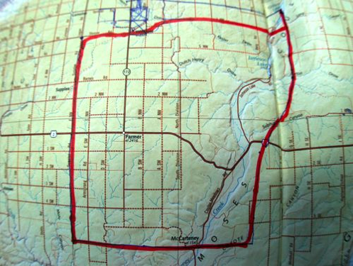
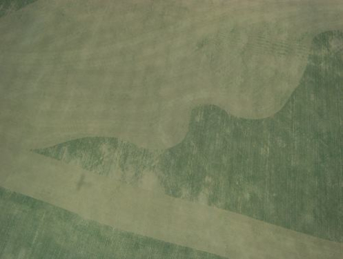
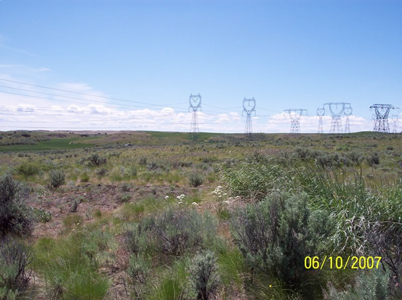
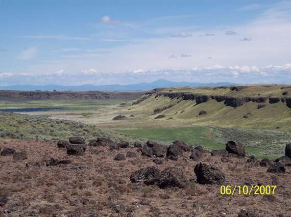
Photo from the original search area
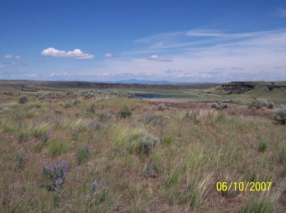
The new projected targets I searched
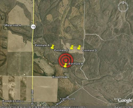
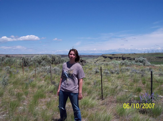
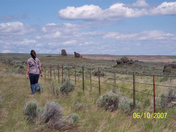
Veronica Harrison and James Ziska at Point B
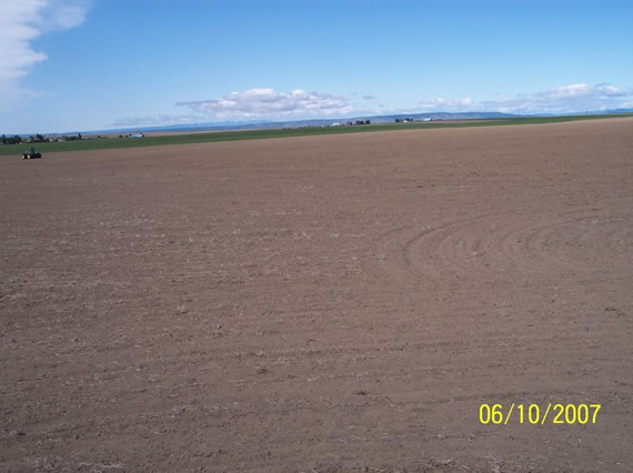
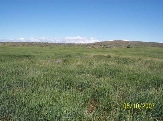
Point A – Just a dirt field
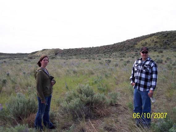
Todd Harrison at Point C
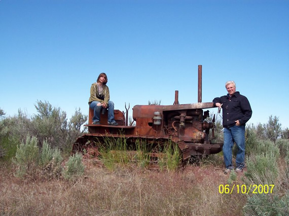
Todd and Veronica Harrison at lost dozer
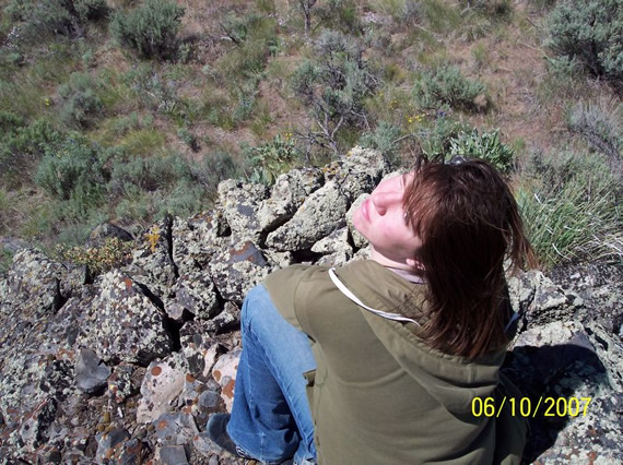
Veronica Harrison at Point C
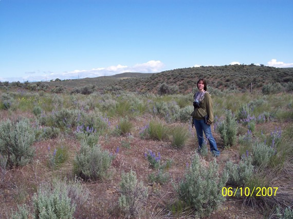
Veronica Harrison near point D

Veronica Harrison at point D

100_1656.jpg
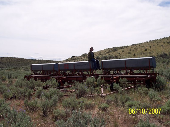
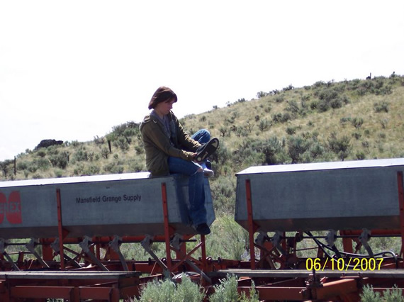
Veronica Harrison on seeder near point D
100_1658.jpg
100_1660.jpg
100_1661.jpg
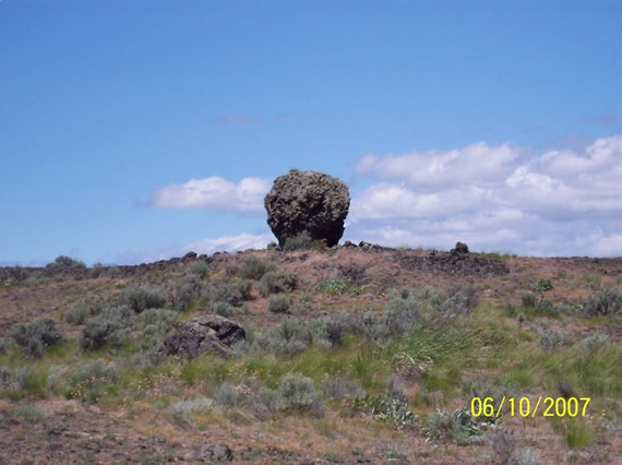
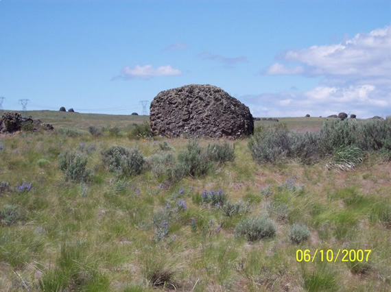
Lava rock at Emrys Hall’s projection, not trees!
100_1663.jpg
100_1664.jpg
100_1666.jpg
100_1667.jpg
100_1668.jpg
100_1669.jpg

100_1670.jpg
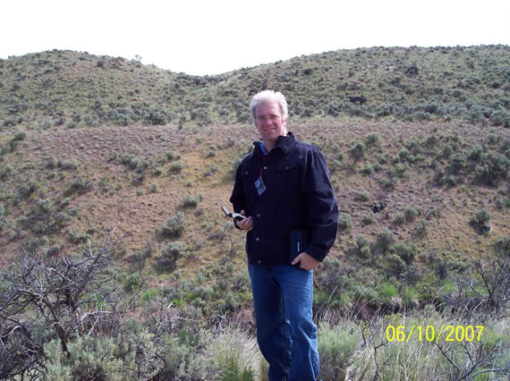
Emrys Hall’s projection point
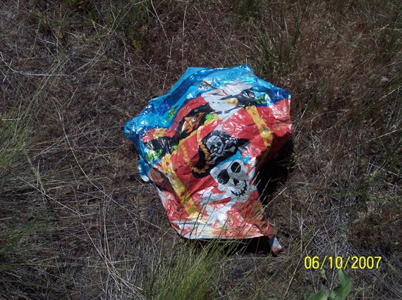
Todd Harrison found a ballon at Emrys Hall’s projection
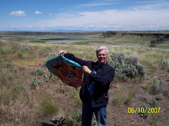
I found the balloon! NOT!
100_1675.jpg
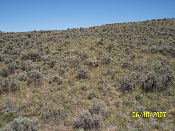
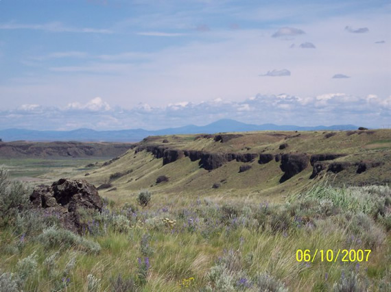
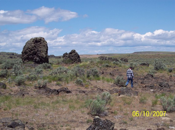
Emrys Hall’s projection area, those are lava rocks not trees!
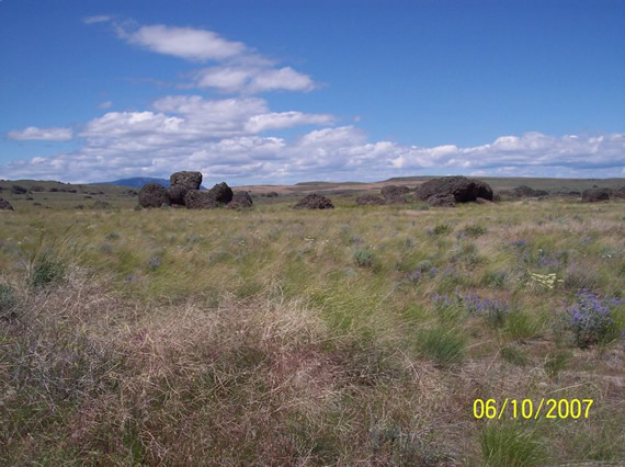
Lava rocks


Links for Beginners in Electronics }:-)
Archives
- April 2017 (1)
- March 2017 (3)
- December 2016 (1)
- November 2016 (3)
- October 2016 (2)
- September 2016 (2)
- August 2016 (4)
- June 2016 (1)
- May 2016 (6)
- April 2016 (1)
- March 2016 (3)
- February 2016 (4)
- January 2016 (3)
- December 2015 (1)
- November 2015 (5)
- September 2015 (1)
- July 2015 (2)
- June 2015 (6)
- March 2015 (1)
- January 2015 (2)
- December 2014 (2)
- November 2014 (4)
- October 2014 (2)
- May 2014 (1)
- March 2014 (5)
- February 2014 (3)
- January 2014 (1)
- September 2013 (2)
- August 2013 (1)
- July 2013 (4)
- June 2013 (3)
- May 2013 (2)
- April 2013 (1)
- March 2013 (3)
- February 2013 (2)
- January 2013 (2)
- December 2012 (1)
- November 2012 (8)
- October 2012 (5)
- September 2012 (1)
- August 2012 (1)
- July 2012 (2)
- May 2012 (2)
- April 2012 (1)
- March 2012 (3)
- February 2012 (2)
- December 2011 (2)
- November 2011 (4)
- October 2011 (1)
- September 2011 (1)
- August 2011 (2)
- May 2011 (2)
- April 2011 (2)
- March 2011 (2)
- February 2011 (2)
- January 2011 (1)
- December 2010 (2)
- November 2010 (2)
- July 2010 (3)
- June 2010 (2)
- April 2010 (1)
- March 2010 (1)
- February 2010 (2)
- January 2010 (1)
- December 2009 (2)
- October 2009 (4)
- March 2009 (1)
- December 2008 (1)
- November 2008 (1)
- August 2008 (1)
- April 2008 (1)
- March 2008 (1)
- February 2008 (1)
- June 2007 (1)
- November 2005 (1)
- April 2005 (1)